
Getting here
Chambly Canal National Historic Site
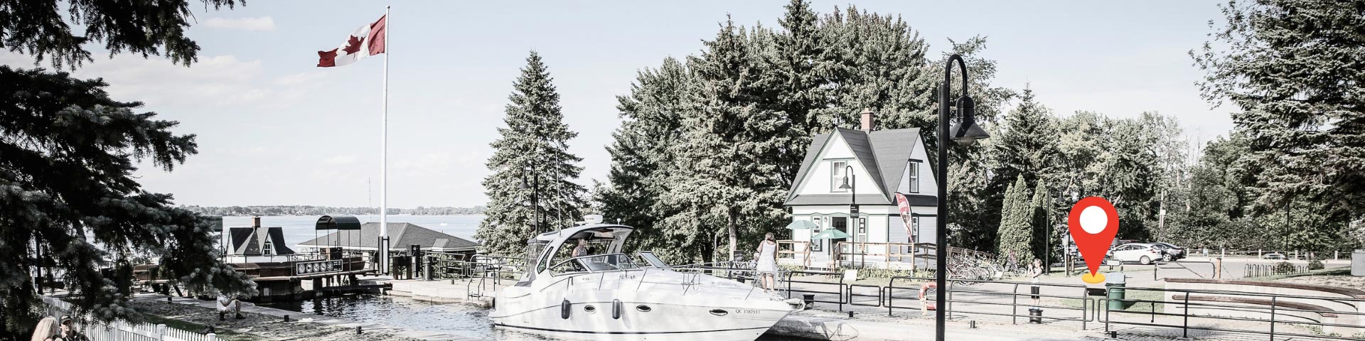
The Chambly Canal National Historic Site extends for nearly 20 kilometres along the Richelieu River, between the cities of Chambly and Saint-Jean-sur-Richelieu. Its banks and multi-use trail can be accessed by bicycle, on foot, by public transit or by car.
Address
The Chambly Canal National Historic Site extends for nearly 20 km, from Chambly to Saint-Jean-sur-Richelieu, and offers several access points. Consult the GPS coordinates to find the access point that best suits your needs.
GPS coordinates
Are you using a navigation system? Use these GPS coordinates:
- Chambly Canal Lock 1: 45.447053, -73.283349
- Chambly Canal Lock 4: 45.443824, -73.273747
- Chambly Canal Lock 7: 45.440655, -73.263254
- Chambly Canal Lock 9: 45.311302, -73.251946
- Parc des Ateliers: 45.447176, -73.280641
Getting here by car
The Chambly Canal runs the whole length of Route 223
Chambly Access – Locks 1, 2 and 3
1751 Bourgogne Avenue, J3L 1Y8
- Take Highway 10 East toward Chambly.
- Take the exits leading to Fréchette Boulevard.
- Follow Fréchette Boulevard to Bourgogne Avenue.
- Continue along Bourgogne Avenue to the Chambly Canal National Historic Site.
Saint-Jean-sur-Richelieu Access – Lock 9
327 Champlain Street, J3B 6W2
- Take Highway 10 East toward Saint-Jean-sur-Richelieu.
- Take Highway 35 South.
- Take Exit 43 toward downtown Saint-Jean-sur-Richelieu.
- Follow the signs to Champlain Street.
- Continue to Lock 9 at the Chambly Canal National Historic Site.
Getting here by public transit
- Travel to Brossard REM Station.
- Take an exo bus toward Chambly.
- Get off at a stop near downtown Chambly.
- Walk to the Chambly Canal National Historic Site.
To help plan your trip by public transit, use the trip-planning tool available on the ARTM website.
Getting here by bike
The Chambly Canal National Historic Site can be accessed by bicycle via Route Verte 1. The multi-use trail is also connected to Route Verte 2 in Saint-Jean-sur-Richelieu, the Montérégiade, and the Vallée-des-Forts cycling route.
To help plan your cycling trip, consult the trip-planning tools available on the Route Verte website.
Getting to Parc des Ateliers
- Go on to Bourgogne Avenue.
- Follow Bourgogne Avenue toward downtown Chambly.
- Continue to Parc des Ateliers at the Chambly Canal National Historic Site.
Map
| Name | GPS coordinates | Category |
|---|---|---|
| 1. Chambly Canal Lock 1 | 45.447053, -73.283349 | National historic site |
| 2. Chambly Canal Lock 4 | 45.443824, -73.273747 | National historic site |
| 3. Chambly Canal Lock 7 | 45.440655, -73.263254 | National historic site |
| 4. Chambly Canal Lock 9 | 45.311302, -73.251946 | National historic site |
| 5. Parc des Ateliers | 45.447176, -73.280641 | National historic site |
Parking
Parking is available near Lock 1 in Chambly and at Parc des Ateliers. Street parking is also available on nearby streets. Visit the “Fees” page for information on parking fees at the Chambly Canal National Historic Site. Parking on the banks of the Chambly Canal is prohibited.
Nous joindre
Pour toute information supplémentaire, communiquez avec nous au 514-283-6054 ou par courriel à infocanalqc@pc.gc.ca.
- Date modified :