
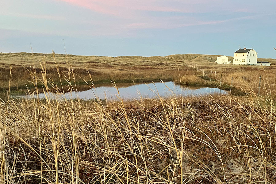
Freshwater ponds
Sable Island National Park Reserve
Freshwater ponds can be found on Sable Island, despite the island's remote location in the Atlantic Ocean.
Freshwater
Sable Island receives all of its fresh water from either rain or fog.
Due to the sandy nature of the island, all rainfall seeps directly into the ground. Sable Island’s infiltration capacity (capacity of the ground to absorb water) far exceeds the heaviest rainfall observed on Sable Island, so there are no streams or other running water on the island.
Freshwater lens
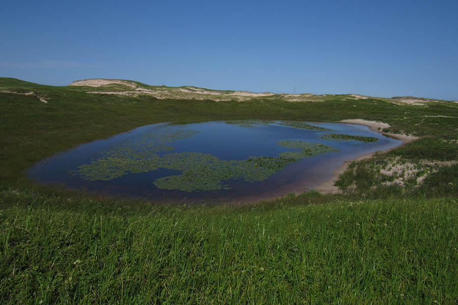
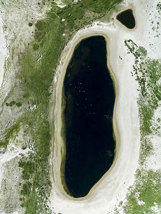
Rainfall collects below the island’s surface and forms a freshwater lens. As freshwater is less dense than saltwater, it floats above it.
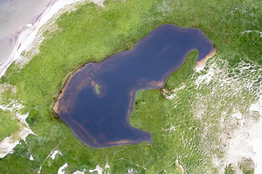
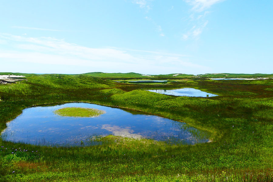
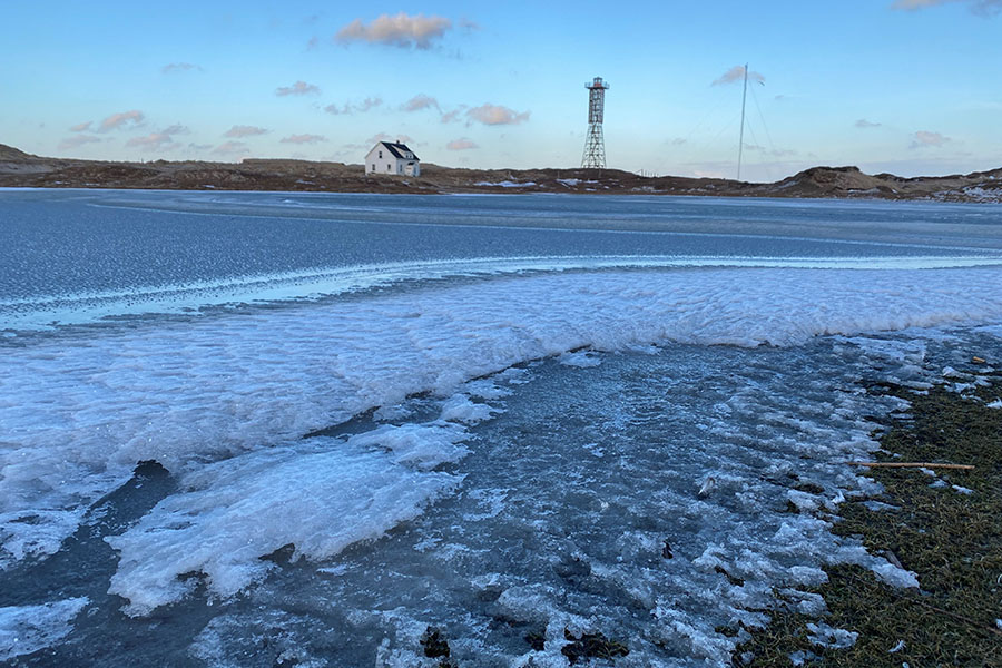
Freshwater ponds
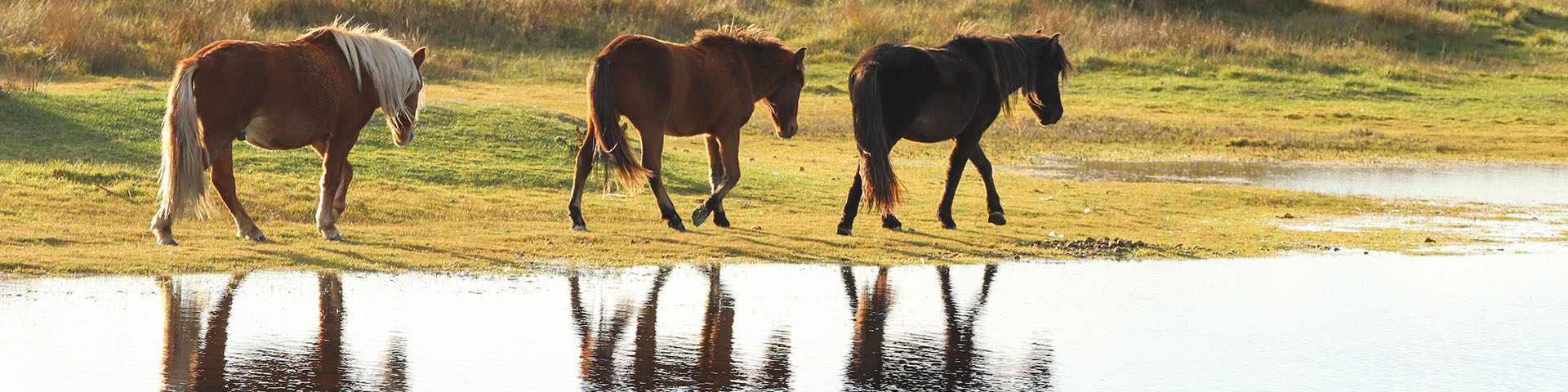
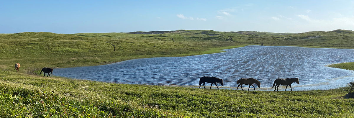
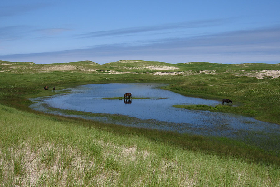
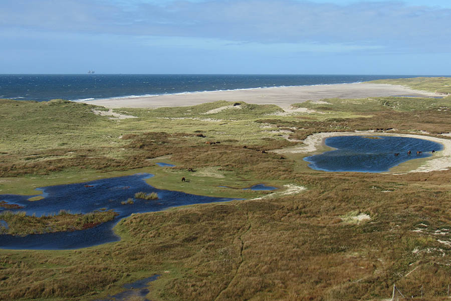
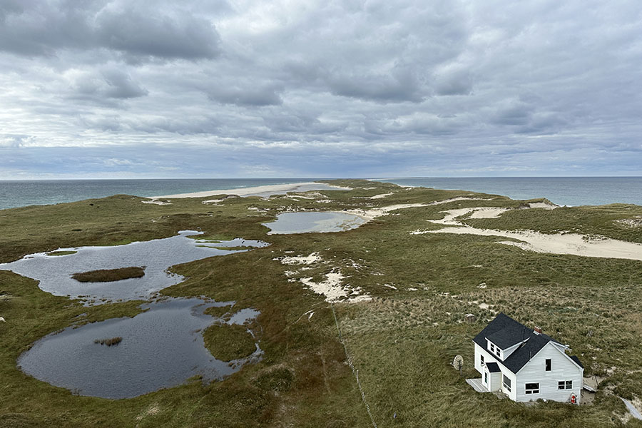
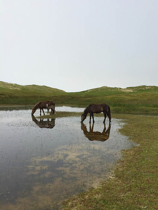
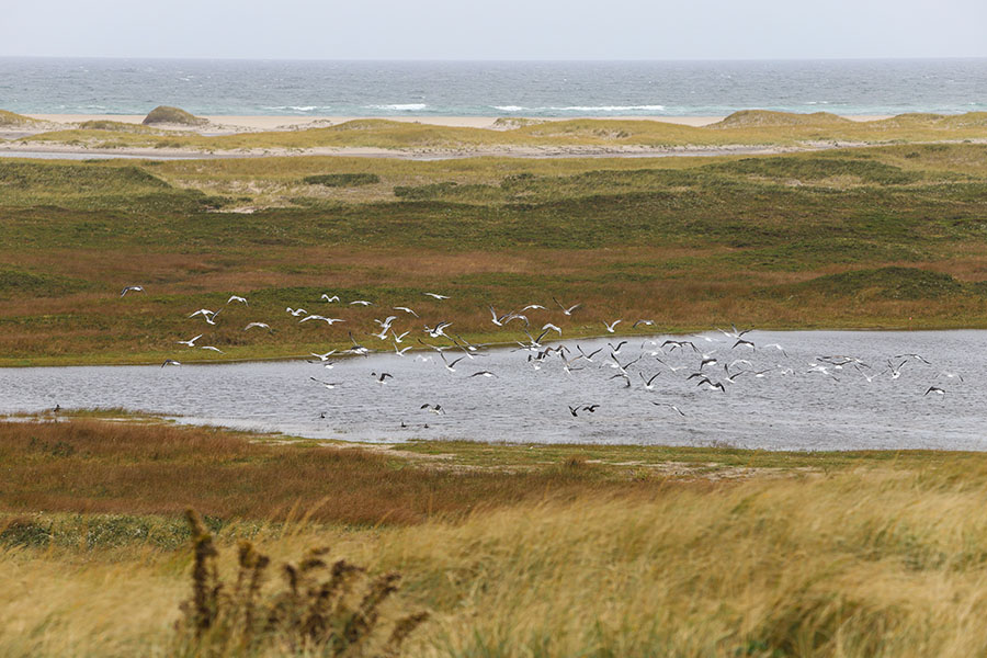
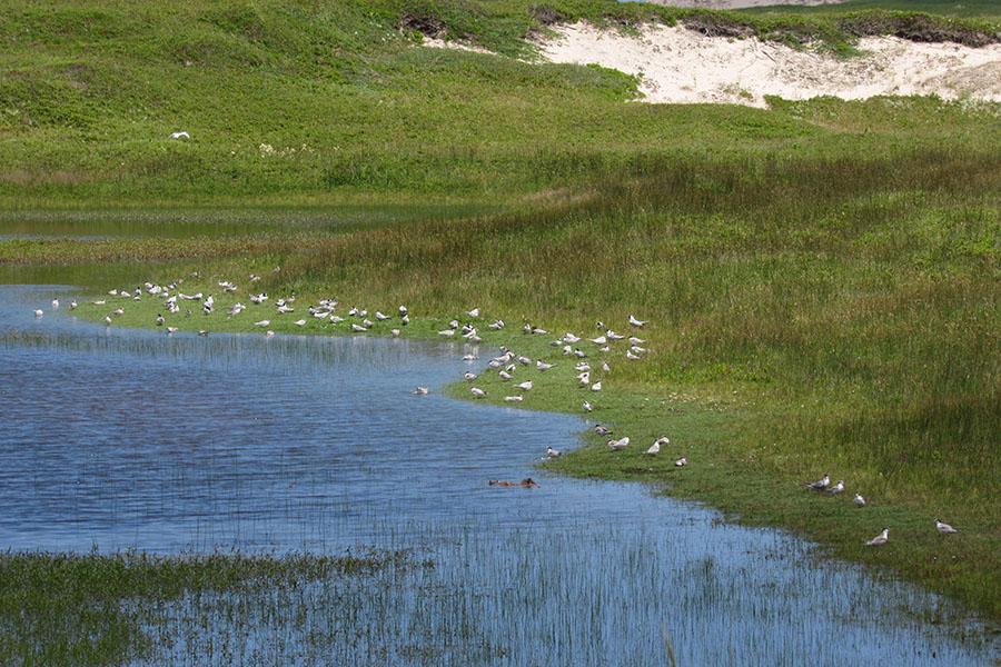
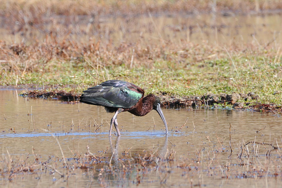
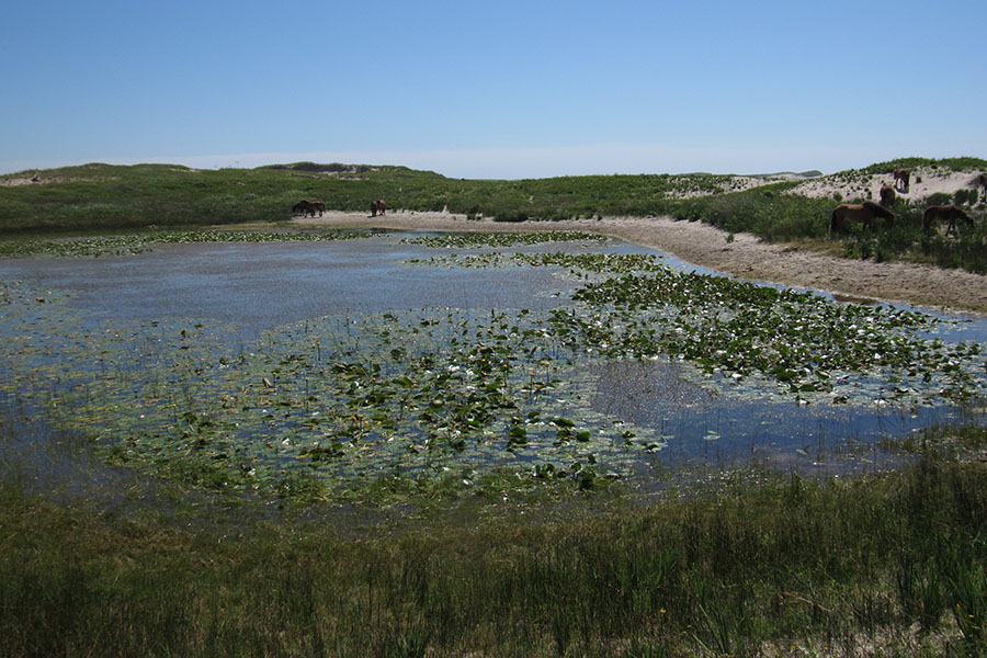
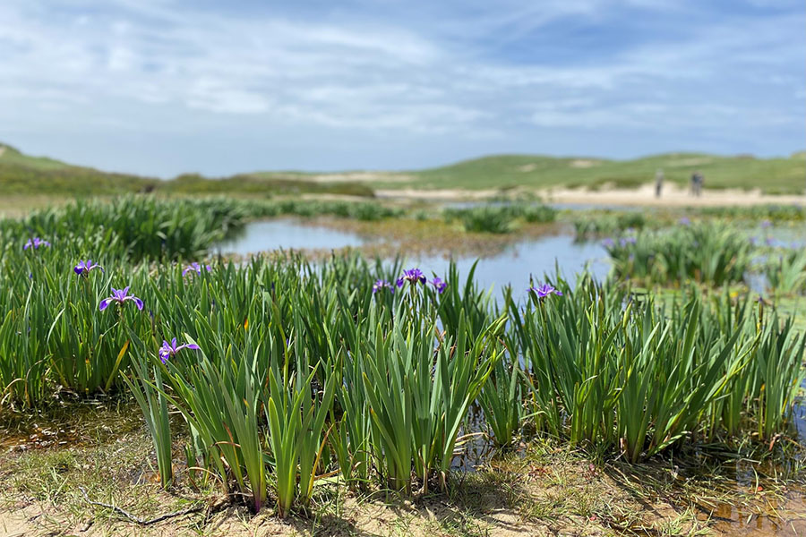
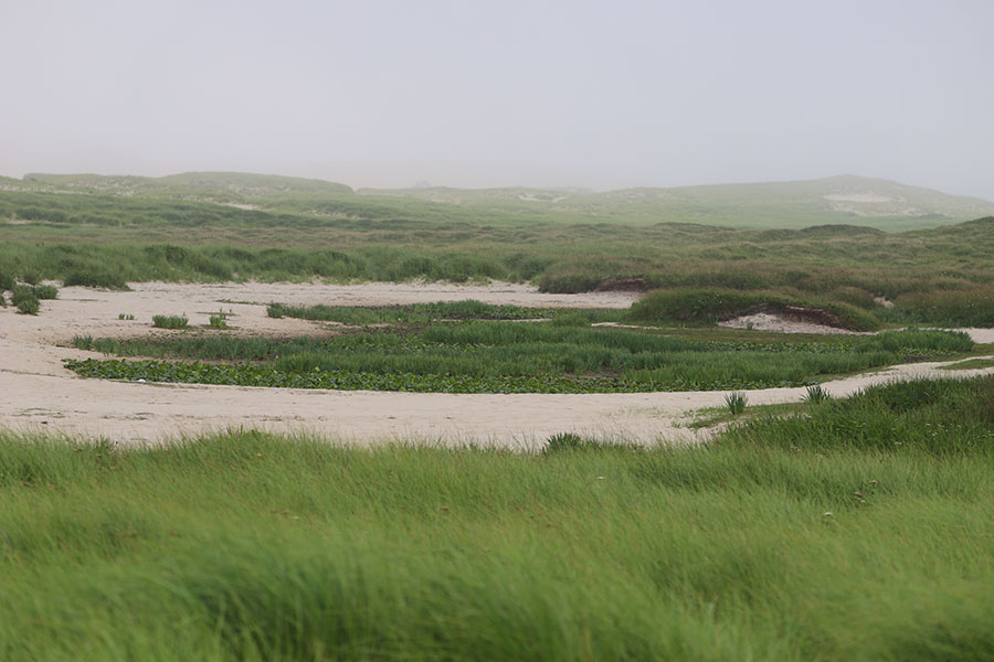
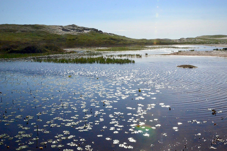
In low-lying areas, the surface of the freshwater lens is exposed. This exposed freshwater lens forms the freshwater ponds on Sable Island. These ponds are generally surrounded by a barrier of sand in the form of dunes.
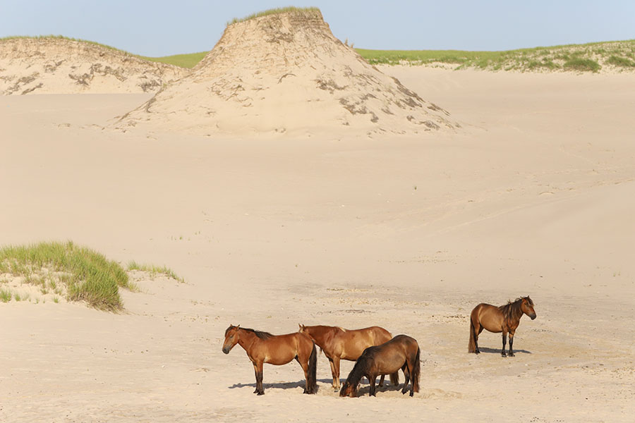
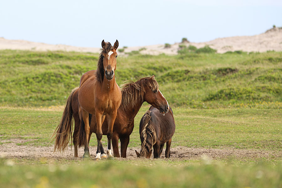
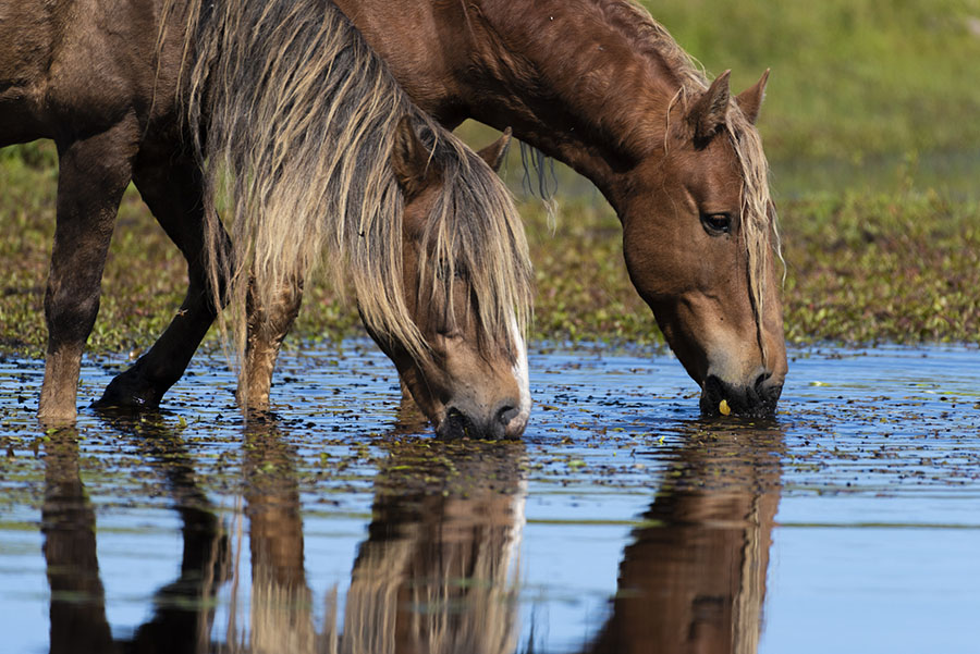
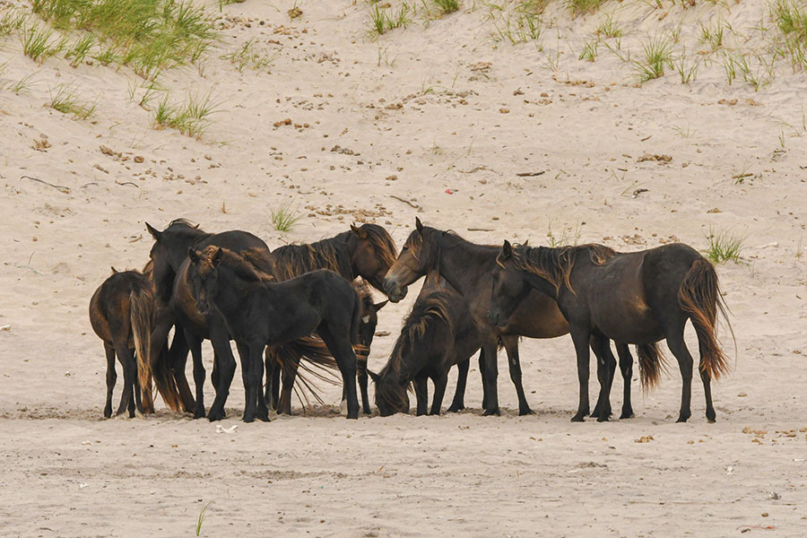
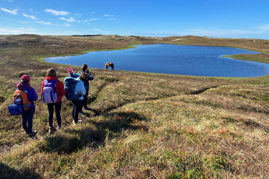
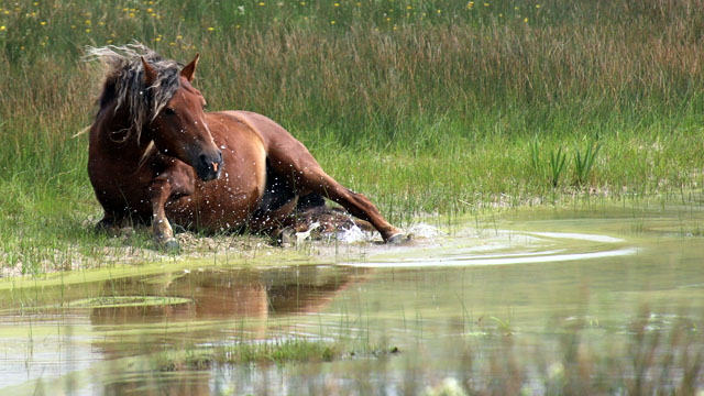
Located on the western half of Sable Island, the freshwater ponds provide essential habitat for a large variety of species, including Sable Island’s wild horses.
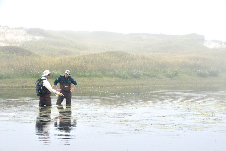
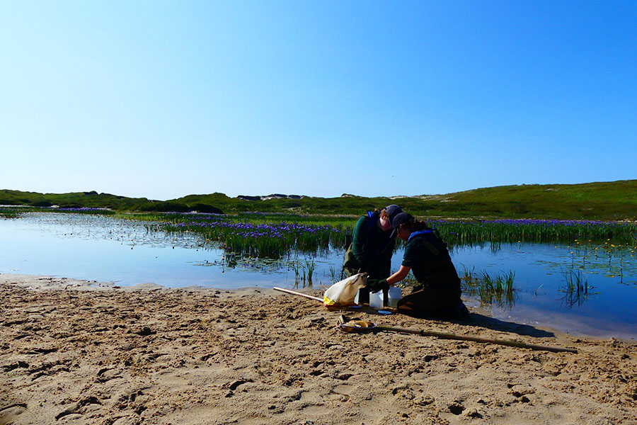
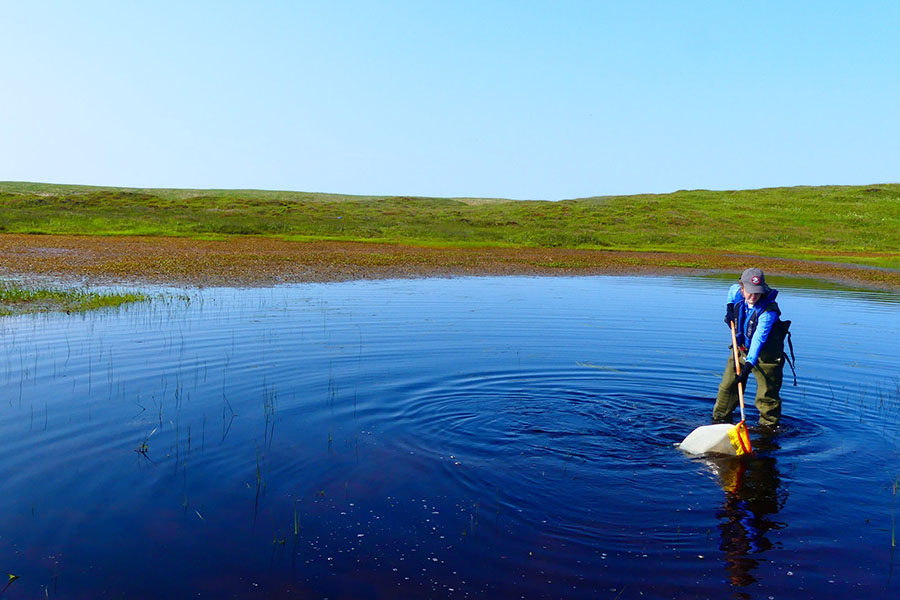
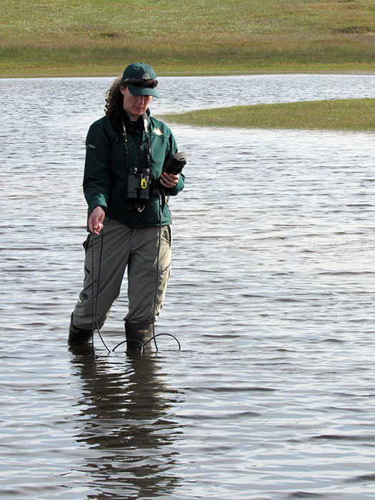
Water testing
Most ponds in Sable Island NPR are slightly basic (i.e. not acidic) unlike most lakes on the mainland of Nova Scotia.
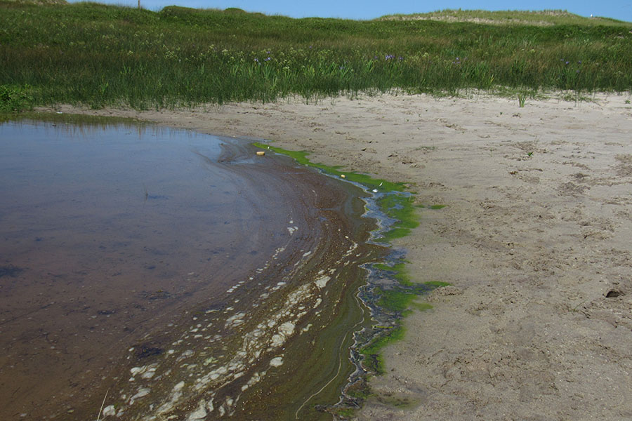
Concerns
There are two major concerns about the freshwater ponds on Sable Island:
- in-filling of the freshwater ponds by windblown sand
- mixing of the ocean salt water with the freshwater (salinization)
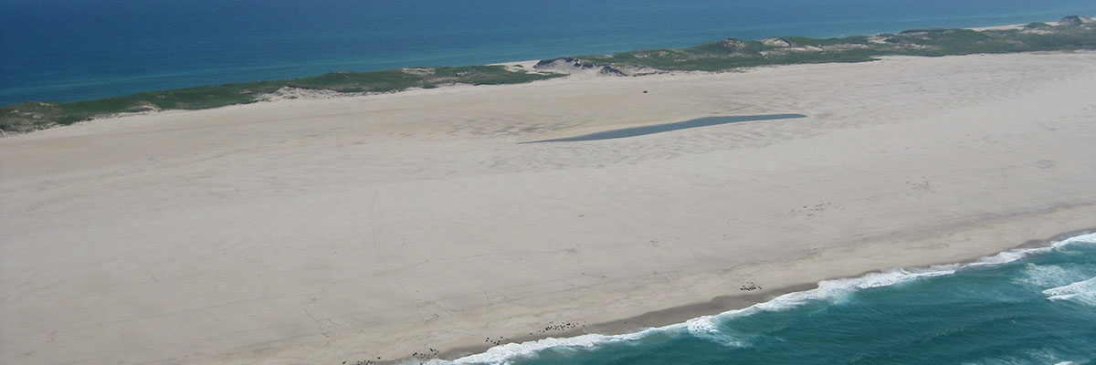
Lake Wallace
When Sable Island was first encountered by Europeans, it had a huge saltwater lagoon that was open to the ocean. Sailors used this bay to shelter their boats. In later years, with the shifting of sands, the lagoon became closed off from the ocean. In 1777, the saltwater lagoon now named Lake Wallace stretched 22 km across the interior of Sable Island.
Despite its earlier massive size, in 1984, the lake measured only 200 m in length — a 110 times decrease in size! This was a result of in-filling of the lake by blowing sand.
In late 2011, Lake Wallace ceased to exist as a permanent feature. The area still experiences periodic flooding from freshwater (heavy rainfall) or saltwater (from wave overwash at high tide or during a storm).
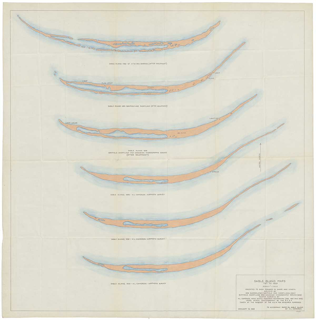
Sable Island maps: 1767 to 1959
Text version
This series of maps shows the changes in shape and length of Sable Island from 1767 to 1959. It also shows the formation of Lake Wallace and how it changed over time. Lake Wallace did not exist in 1766. Lake Wallace grew smaller between 1851 and 1952. The size and shape of the lake remained the same from 1952 to 1959.
From top to bottom, the maps include:
1. Sable Island, 1766-67 – J.F.W. Des Barres (After Goldthwait)
2. Sable Island, 1851 – Bayfield and Shortland (After Goldthwait)
3. Sable Island, 1899 – Bayfield, Shortland and Canadian Hydrographic Service (After Goldthwait)
4. Sable Island, 1952 – H.L. Cameron, Air photo survey
5. Sable Island, 1955 – H.L. Cameron, Air photo survey
6. Sable Island, 1959 – H.L. Cameron, Air photo survey
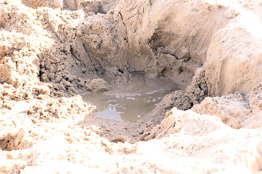
Water holes
Additional information
Freedman, B., Lucas, Z. and S. Blaney. 2016. Ponds on Sable Island in Freedman, B. (Ed.) 2016. Sable Island, the Ecology and Biodiversity of Sable Island. Fitzhenry and Whiteside, Markham ON.
Image gallery
Related links
- Date modified :