
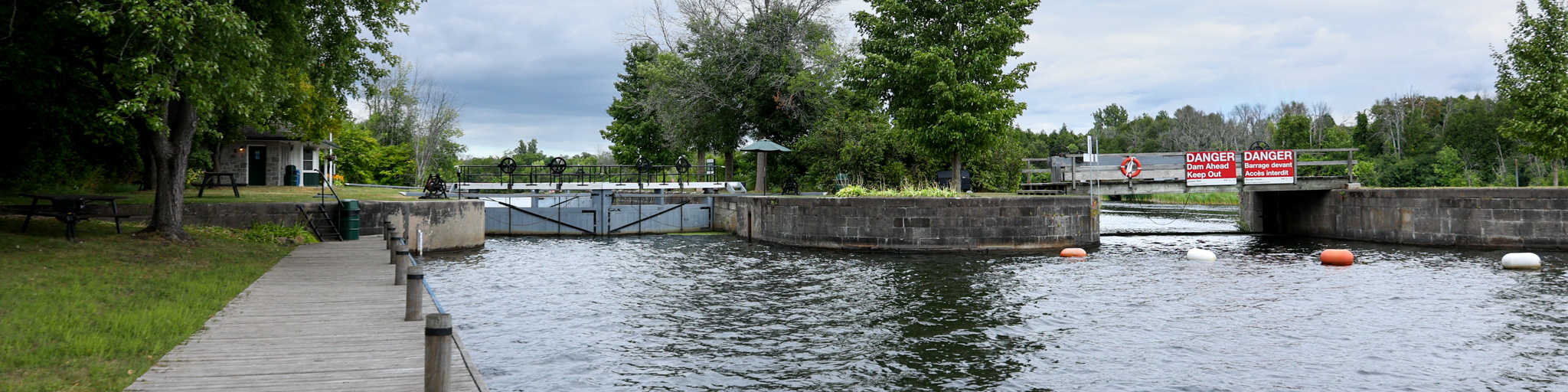
Clowes
Rideau Canal National Historic Site
During peak navigation times, Clowes serves as an overflow to overnight boaters, although it has limited greenspace.
How to get here
| Name | Description | Category |
|---|---|---|
| Clowes | 495 Heritage Drive, Montague, Ontario | Location |
-
Directions
Navigational data
- Distance from Ottawa: 70.5 km (43.8 mi)
- Distance from Kingston: 131.6 km (81.8 mi)
- Nautical chart: #1512 (Sheet 3)
- Lock length: 40.8 m (134 ft)
- Lock width: 9.7 m (33 ft)
- Average lift: 2.3 m (7.6 ft)
Facilities and services
- Overnight mooring (2 nights max)
- Day use docking
- Camping
- Washrooms
- Barbecue grills
- Potable water
- Picnic tables
- Parking (limited)
History
The site was known as Clowes Quarry, named after James Clowes who was the owner of a nearby quarry. That quarry supplied stone for the construction of the locks, dams and weirs at Merrickville and Nicholsons, as well as Clowes.
Read more history about this lockstationRelated links
- Ottawa Locks
- Hartwells
- Hogs Back
- Black Rapids
- Long Island
- Burritts Rapids
- Lower Nicholsons
- Upper Nicholsons
- Merrickville
- Kilmarnock
- Edmonds
- Old Slys
- Smiths Falls Combined
- Smiths Falls Detached
- Poonamalie
- Lower Beveridges
- Upper Beveridges
- Colonel By Island
- Narrows
- Newboro
- Chaffeys
- Davis
- Jones Falls
- Brass Point Bridge
- Upper Brewers
- Lower Brewers
- Kingston Mills
- Date modified :