
Maps
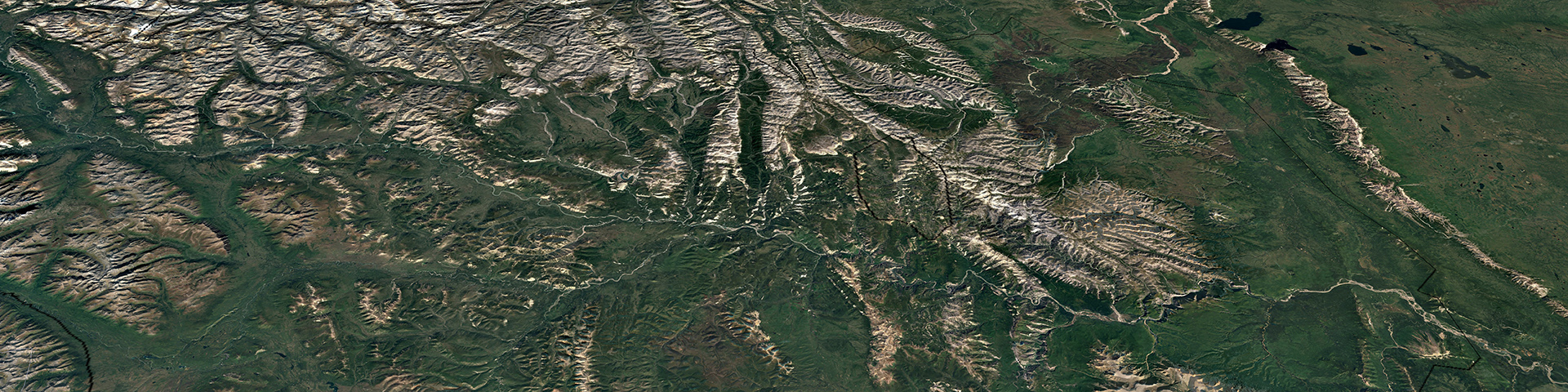
Nahanni National Park Reserve
Natural Resources Canada Topographic Maps
Download Nahanni National Park Reserve KMZ 56 KB
Download Nahanni National Park Reserve GPX /GPS 489 KB
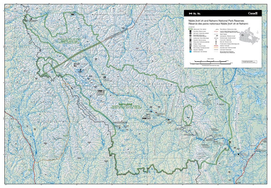
Most people find that 1:250,000 scale topographic maps of the Nahʔą Dehé (South Nahanni River) are adequate for canoeing the river, and for day hikes away from the river. The maps that cover the park area are as follows:
- Tu Naka Dé (Flat River) 95E
- Náįlįcho (Virginia Falls) 95F
- Sibbeston Lake 95G
- Glacier Lake 95L
- Little Nahanni 105I
Additional maps:
- Łįįdłįį Kų́e (Fort Simpson) 95H
- Date modified :